BACKGROUND
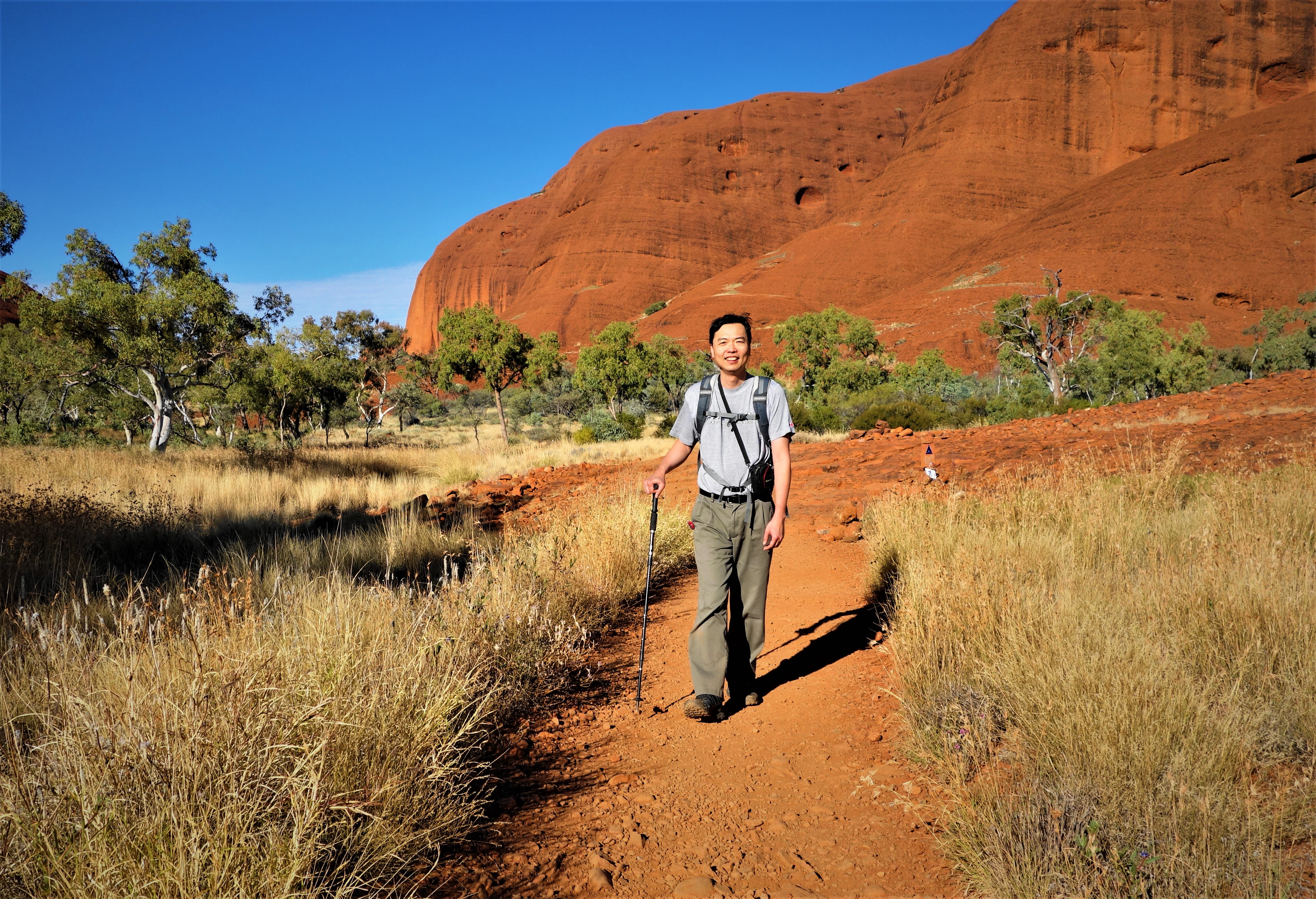
Hiking in Australia’s Uluru Kata Kjuta National Park, 2017

I was an enthusiastic hiker, in Southwestern BC, Canada, during my college years. However, moving to the Midwest, USA, in the 90’s, where trails were not enticing, followed shortly by adding 3 newborns to our family in 4.5 years did not help the cause either. In 2004, we moved to Spokane, WA and I started hiking again. The local trails were nice, but not exceptional. The job demand, and a minor nagging injury put a stop to that after a couple of seasons.
In August 2013, during a trip to Glacier National Park, we embarked on a hiking trail called Grinnell Glacier (photo above). Despite the very trying weather, I was never so moved by a hike before, hence the journey began again. Spokane’s geographic location enabled easy visits to Cascades, and Northern Rockies in Washington, Montana, BC, Alberta, I gradually expanded to other parts of US, Southwest, for instance and the World.

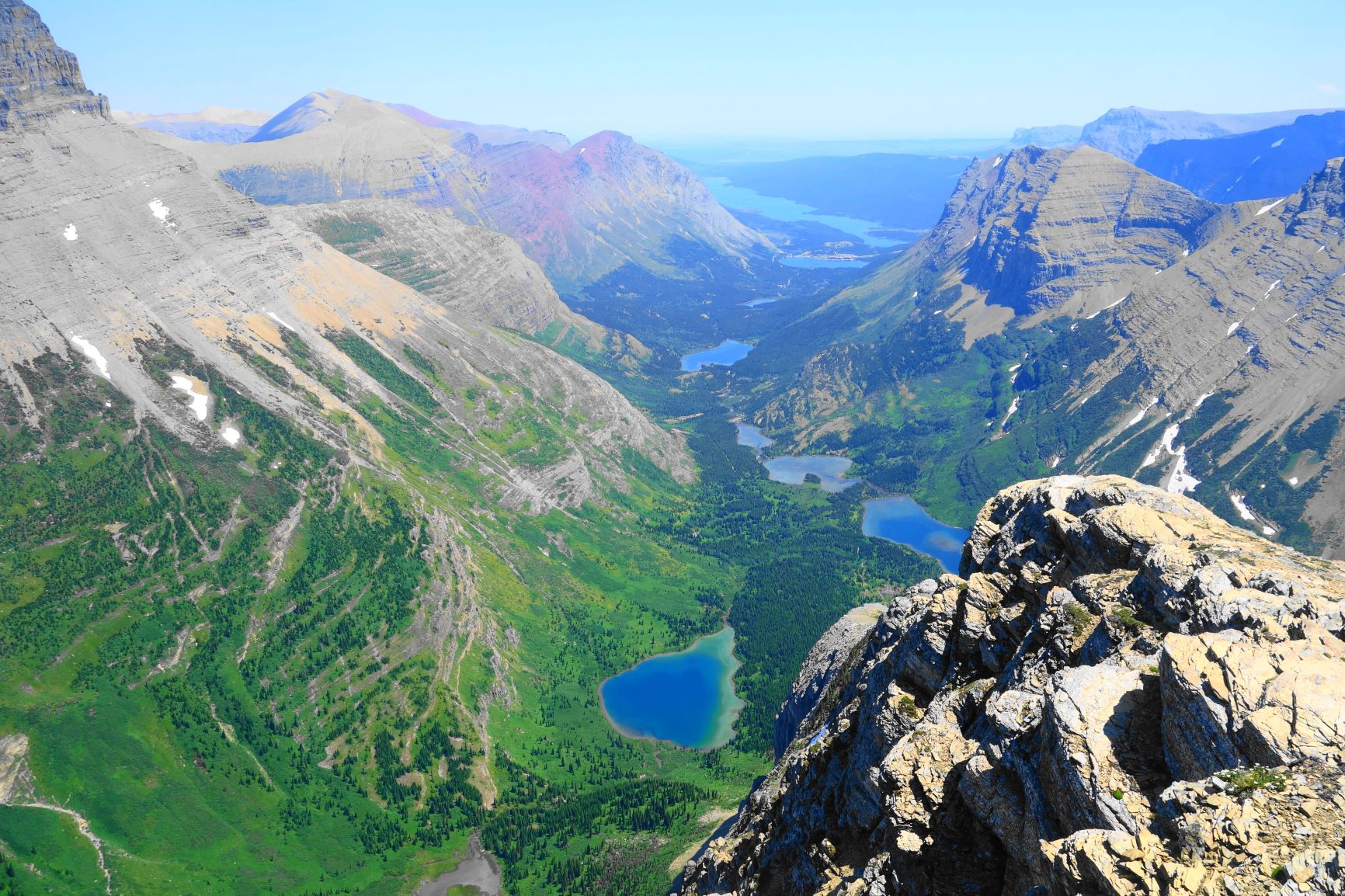
View from Akamina Ridge, Waterton
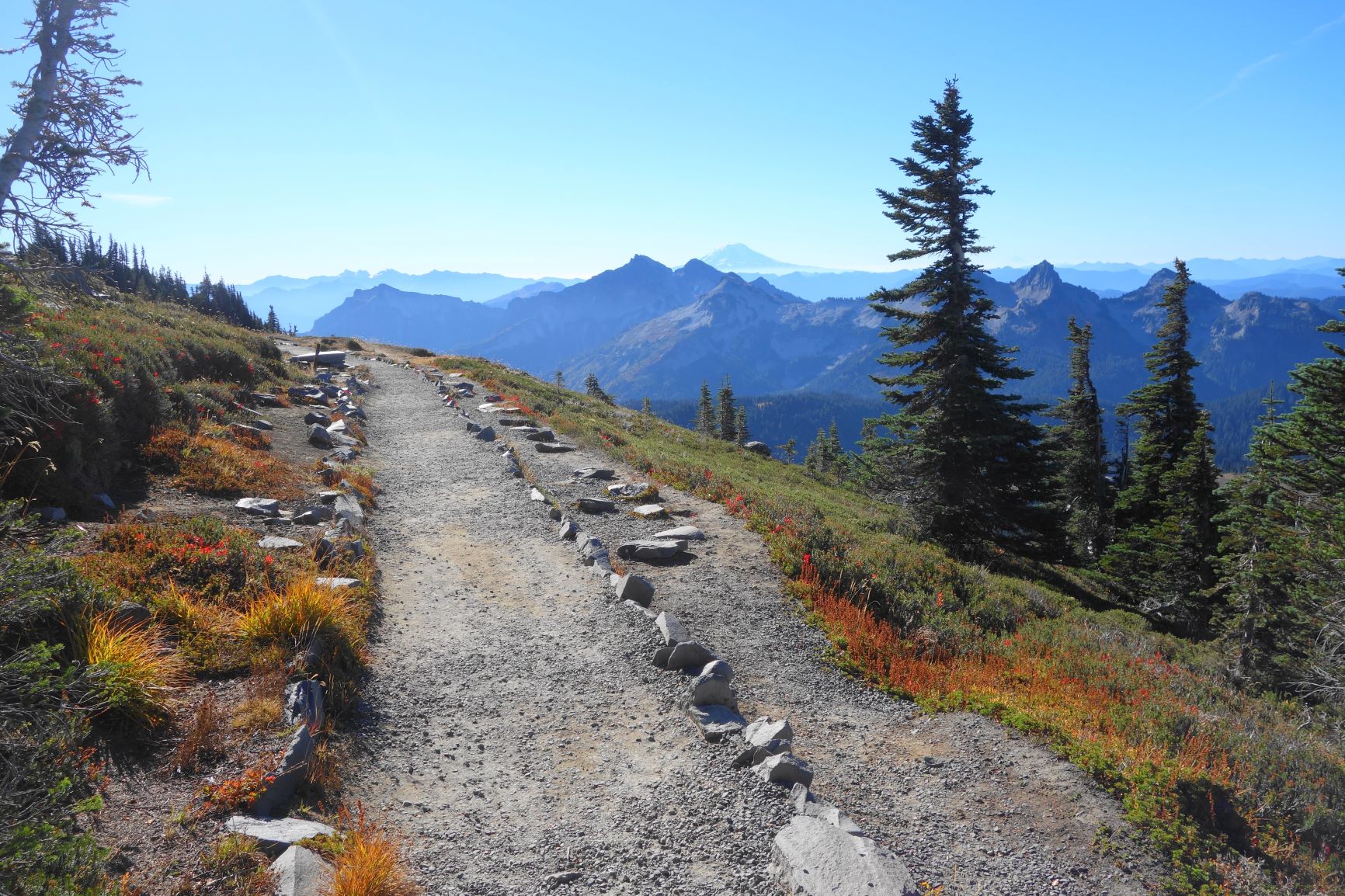
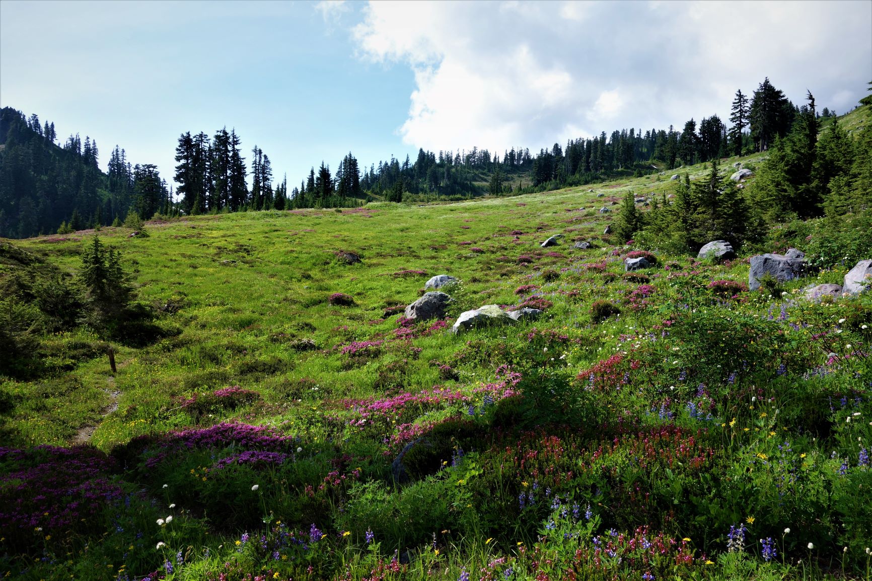
The Pictures
I only started paying attention to photography after my hiking started in earnest. Not creative nor trained, I, like many others, only want to capture the beauty that surrounds me. Once in a while, I succeed. I use point and shoot only, with the strict criteria that the camera has to fit in one of my pockets. Most of my photos (since 2014) are taken using a Sony RX100, and further upgraded RX100 Mark VI in 2019


Hiking Stats
2013 13 trails 98.2 miles
2014 10 trails 97 miles
2015 28 trails 213.6 miles
2016 15 trails 99.5 miles
2017 22 trails 156 miles
2018 9 trails 43.5 miles
2019 13 trails 71 miles
2020 27 trails 160 miles
2021 30 trails 125 miles
2022 12 trails 101 miles
2023 13 trails 114 miles
2024 8 (April)


Records:
Distance: 20+ miles, Enchantments Traverse (Cascades)
Elevation gain: 4800 feet, Half Dome (Yosemite)
Highest Elevation: 16000 feet, Cotopaxi Volcano National Park (Overseas)
Notes on Equipment
Boots – Northface Hedgehog Tall III GTX XRC, size 9.5 (first trail – Cascade Pass/Sahale Arm, 9/2013, last trail Devil’s Garden, 11/2016 >500 miles)
– Salomon X Ultra Mid II GTX, size 10 (first trail – Hog Lake Canyon 4/2017, last – Sperry Glacier 8/2020)
– Lowa Renegade GTX Mid Size 10 (first trail – Spider Meadow-Glacier 9/2020)
Backpack – Kelty Redstart 23, Women’s; 23L capacity, 0.7kg, 19×12.5×10.5 inches (first trail – Cascade Pass/Sahale Arm 9-2013, Last Trail – Plains of Six Glaciers, 7-2017)
-Osprey Talon 22, size M/L, 22L, 1.8 pounds, 0.67Kg (8-2017, Iceline-Whaleback to 9-2022, Navajo Knob)
– Osprey Talon 22, Size L/XL, 22L (10-2022)
-Outdoor Research Ferrosi pants (32/32 better); Patagonia Quandary shorts 33/10.


Just so you know I second the commentors remarks who accompanied you on the Crypt Lake trail. For a un-trained amateur in the photo journalism field you definitely have a gift for light and picture composition despite your modesty. Your observations are sparse but poignant. I’ll be keeping an eye on your blog and hope you develop some ambition to explore your budding talent further.
Best regards, Chris
LikeLike
Hi there! I found your blog through the sharing of your trip in Switzerland on the myswissalps forum. I am also planning a 3 days trip to Bernese Oberland area but in Winter! Me and my friend are not avid hikers but we would love to explore the area. Could you recommend some easy hikes for us, and safe? I’m concerned that since it’s winter, some trails maybe slippery and we do not have the right footwear 😦
Thanks in advance!
LikeLike